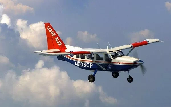
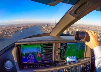
Early aircraft navigated through the air by landmarks alone — looking at linear landmarks such as roads, railways and rivers.
Point landmarks such as peaks, lighthouses and highway junctions;
A planar landmark such as a lake or town.
Later, using tools such as aerial maps, magnetic compasses, slide rules and clocks, and their knowledge of astronomy, geography and mathematics, the aircrew calculated the Angle of the course according to the wind speed and direction, and corrected the deviation of the course according to landmarks. This kind of work was called “air navigation”.
Although this approach “primitive”, aviation pioneer Lin Bo was relying on these things drive a piston single engine plane “spirit of st. Louis” from the west coast of the United States alone, and directly in Paris over the Atlantic ocean, when he was flying over the vast Atlantic also by looking at the sea currents, to identify the direction, to determine the location of constellation in the night sky.
Aerial pilotage is a required course for pilots, the core of which is to use vector synthesis principle to correct the influence of wind on flight track.
With the development of radio technology, a variety of electronic devices provide precise navigation information for aircraft:
There are OMEGA for intercontinental navigation, LORAN-A (LORAN-C) for wide seas, VHF Omnidirectional Radio Beacon Navigation (VORTAC) for short-range navigation, and a number of navigation beacons and radar systems developed specifically for military use.
Now, the Global Positioning System (GPS), which uses synchronous satellites to work, has come into widespread use.
However, VORTAC is still the mainstream of short-range navigation. Most modern military and civilian aircraft, including civil airliners and small general aircraft, are equipped with VOR receivers.
VORTAC is a collective term for VOR/DME and TACAN.
VOR/DME is a civil system, TACAN is a military tactical air navigation system (Tacon navigation system) developed for shipborne and mobile stations.
Both work differently and have different technical specifications, but they are used exactly the same.
In fact, some VOR/DME and TACAN stations are built together and use the same frequency, and to the aircrew, it’s just a VOR beacon.
VOR beacons are the largest and most important radio navigation point in the world.
Many network VOR is station distance apart into the scatter distribution, when the plane received VOR is beacon signal receiver, may be linked through a dedicated instrument flight crew plane and the relative position of the fire stations, if station signal is ranging (DME, distancemeasuringequitment),
It can also know the distance between the aircraft and the station to determine the current position of the aircraft and know what degree of course Angle to approach the destination.
The latest market dynamics at any time to see, please pay attention to.

